Need zoning details fast? Plotzy's AI-powered platform lets you generate accurate, parcel-specific zoning reports in minutes. Whether you're evaluating a property for development, checking compliance, or planning an investment, zoning reports help you avoid costly mistakes and delays.
Key Features of Plotzy's Zoning Reports:
- Quick Access: Generate reports in minutes.
- Accurate Data: Updates directly from municipal sources.
- Detailed Insights: Covers zoning classifications, permitted uses, restrictions, and more.
Why Use Plotzy?
- Save time compared to manual research.
- Avoid compliance issues with up-to-date data.
- Easily filter properties by permitted uses, size, and other criteria.
Pricing:
- Basic Plan: $65/month - Ideal for brokers.
- Pro Plan: $200/month - Designed for teams, with advanced features like custom shapefiles and 1,000 monthly owner contact matches.
Start your zoning research at Plotzy.ai and streamline your property decisions today.
AI for Due Diligence! How to Review Zoning Rules, Covenants ...
Main Parts of Zoning Reports
Zoning reports provide essential information needed to assess property use and compliance. Here's a breakdown of the key components included in every Plotzy zoning report:
Key Elements of a Zoning Report
- Parcel Identification: Includes the legal description, address, and tax ID to ensure accurate property identification.
- Zoning District Classification: Defines the primary zoning designation, outlining the general uses allowed.
- Permitted Uses: Lists all allowable activities to help avoid compliance issues.
- Dimensional Standards: Covers height restrictions, setbacks, and lot coverage guidelines critical for development planning.
- Overlay Districts: Highlights additional requirements from special zones layered over the base zoning.
- Development Constraints: Notes restrictions like environmental protections, historic designations, or specific conditions tied to the property.
- Variance History: Details any past exceptions or modifications granted for the property.
- Official Maps: Includes zoning boundaries, flood zones, and other regulatory overlays for visual context.
Plotzy uses AI to keep these elements updated, reflecting the latest municipal regulations and changes.
Ideal Scenarios for Using Zoning Reports
Zoning reports are invaluable in various situations, including:
- Selecting a site to find properties that meet your needs.
- Verifying development potential before making a purchase offer.
- Planning renovations or changes in property use.
- Conducting due diligence for investment decisions.
- Ensuring compliance with current regulations.
- Preparing for permit or variance applications.
- Assessing how zoning impacts property value.
With this information ready, you can easily order your zoning report through Plotzy's dashboard.
Getting Zoning Reports with Plotzy
Setting Up Your Plotzy Account
Head over to plotzy.ai and pick the plan that suits your needs: Basic ($65/month) for individual brokers or Pro ($200/month) for land acquisition teams [1]. Once you've activated your plan, you're ready to start searching for parcels and generating reports.
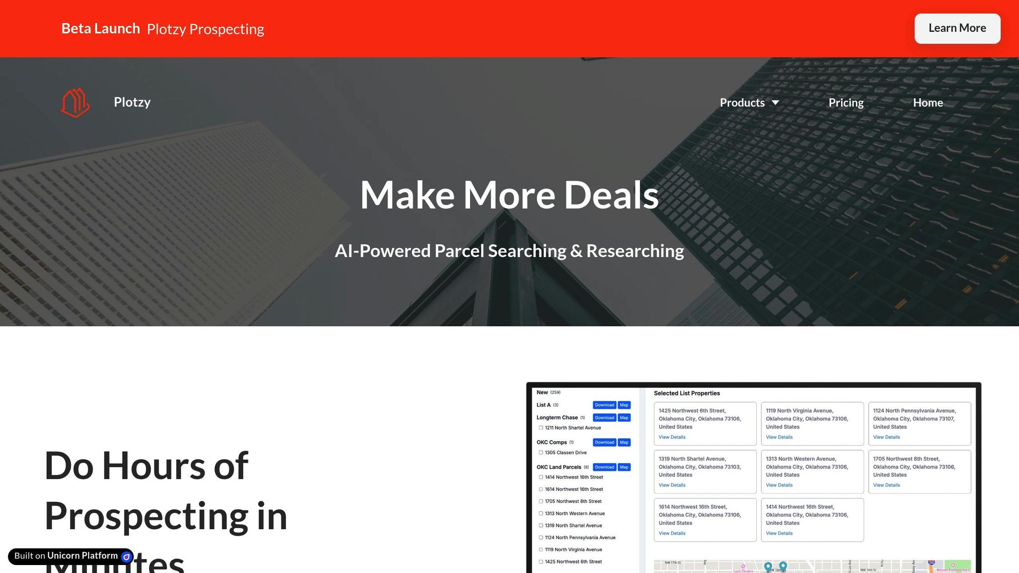
Searching for Properties
After setting up your account, use Plotzy's parcel search tool to filter properties based on criteria like permitted uses, acreage, and other project requirements. Once you've identified potential properties, take advantage of the AI-powered owner contact search to quickly access owner details, making site selection and outreach more efficient.
Generating a Zoning Report
When you're ready to get zoning data, follow these simple steps. Select a parcel from your search results, click 'Generate Zoning Report,' and download the report in your preferred format. The report will include details like zoning classifications, permitted uses, and municipal notes.
| Feature | Basic Plan | Pro Plan |
|---|---|---|
| Property Data | ✓ | ✓ |
| Parcel Boundaries | ✓ | ✓ |
| Property Lists | ✓ | ✓ |
| Data Exports | ✓ | ✓ |
| Permitted Use Filters | ✓ | ✓ |
| Municipal Resources | ✓ | ✓ |
| Instant Zoning Q&As | ✓ | ✓ |
| Custom Shapefiles | - | ✓ |
| Owner Contact Info | 200 matches/month | 1,000 matches/month |
[1] Pricing available at Plotzy.ai
sbb-itb-11d231f
Tips for Better Zoning Research
Checking Report Accuracy
Always verify AI-generated data against official zoning maps. Pay special attention to overlay districts and special use zones, as these can directly impact development opportunities. Review key details like permitted uses, setbacks, parking requirements, density limits, and overlay designations to ensure accuracy.
Monitoring Zoning Changes
Stay informed about zoning updates using Plotzy's alerts and notifications. Local governments typically announce proposed changes through planning commission agendas, public hearings, draft amendments, and updates to comprehensive plans. Combine these updates with firsthand research to get a complete picture.
Combining Research Methods
Use Plotzy's fast data as a starting point, but don't stop there. Supplement AI reports with detailed reviews of municipal records, site visits, and an analysis of local market trends for a well-rounded understanding.
Manual vs AI Zoning Research
After reviewing the key components of zoning reports and the steps to order them, let’s break down the differences between manual workflows and AI-powered research.
Manual vs. AI: Time and Accuracy
Manual zoning research often demands hours of effort for each parcel. In contrast, Plotzy automates the process, handling data collection and verification in just minutes. The result? Faster, more reliable outcomes.
Advantages of AI Research Tools
Plotzy’s AI-driven tools offer several benefits:
- Automated verification across multiple sources ensures accuracy.
- Standardized zoning data displayed side-by-side simplifies comparisons.
- Smart filters allow you to sort by uses, dimensions, and overlays effortlessly.
- Portfolio-wide analysis in minutes saves time on large-scale projects.
These features highlight how Plotzy transforms commercial property research into a faster, more efficient process.
Summary
Plotzy's AI platform simplifies zoning due diligence by generating fast and dependable reports in just seconds. Pricing starts at $65 per month for the Basic plan, while the Pro plan, at $200 per month, includes unlimited searches, instant zoning insights, and advanced parcel filters. The platform offers instant access, smart filtering options, and integrated municipal data - all in one easy-to-use solution.
FAQs
How does Plotzy guarantee the accuracy of its property zoning reports?
Plotzy ensures the accuracy of its zoning reports by sourcing data directly from official municipal records. This approach provides reliable, up-to-date information tailored to each property.
By standardizing this data into clear, easy-to-read reports, Plotzy helps commercial real estate professionals make informed decisions with confidence. Every report includes precise zoning classifications and parcel-specific details to support compliance, site selection, and development planning.
What are the key benefits of the Pro Plan for teams compared to the Basic Plan?
The Pro Plan is designed to give teams a significant edge by offering unlimited searches and access to detailed zoning reports, which are not included in the Basic Plan. These features help streamline workflows and ensure teams have all the information they need for property research and planning.
For teams handling multiple projects or requiring in-depth zoning insights, the Pro Plan provides the tools to work more efficiently and make better-informed decisions.
Can I request zoning reports for properties outside my local area, and how does the process work?
Yes, you can request zoning reports for properties located outside your immediate area. Simply provide the property address or parcel number, and customize your preferences to get detailed insights specific to the property. For properties that span multiple zoning districts or have overlay restrictions, you can request a specialized report to ensure all relevant details are included.
These reports are designed to provide comprehensive zoning classifications, parcel-specific data, and other key information to support your site selection, compliance, or development planning needs.